Rouge Beach to Petticoat Creek Conservation Area
Rouge Beach is located at the mouth of the Rouge River and is part of the Rouge Urban National Park. The trails are not connected because of the large marsh area just before Lake Ontario.

Rouge Beach is popular for fishing, beach play, and canoeing. Hiking is done along the Waterfront Trail. Read our earlier blog entry about a hike from the Highland Creek Water Treatment Plant to Rouge Beach. This blog entry goes east along the lakeshore through Petticoat Creek Conservation Area.
Parking
There is plenty of parking at the intersection of Rouge Hill Drive and Lawrence Ave East.
Suggested Route
The route we took was 7 km in length, as we explored in the Petticoat Coat Conservation Area. Future posts will cover more of the area.

Rouge Beach
From the parking lot, walk on the boardwalk next to the marsh.


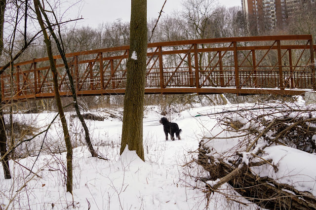
Bridge to Pickering
Cross the bridge for views of the lake and marsh.


After leaving the bridge, you are officially in Pickering.

There are parking spots on this side as well. Follow Rodd Ave to get to the Waterfront Trail that takes you through Petticoat Creek Conservation Area.

Petticoat Conservation Area
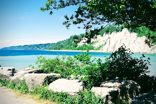
You'll be at the top of the bluffs where you'll have a great view of the lake.

Just past the bridge over Petticoat Creek, we found a trail to the lake. Lucy was able to play on the deserted beach.

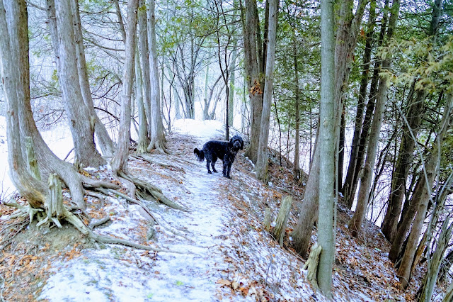
At this point, we turned back and walked along the Petticoat Creek to explore a bit of the park. The park was closed the day we went in mid-November, so we had the place to ourselves.

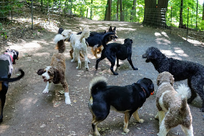
Lucy met a few friends along the route that she was able to play with.


Trail Extensions
We turned back just after Petticoat Creek, but the trail continues to Fisherman's Bay. Walking to Fisherman's Bay will likely add 3 km to your hike.
We only explored a small part of Petticoat Creek, so you can extend your hike by exploring more of the park.
Rouge River Trails
There are three other entry points into the Rouge Urban National Park, where you can hike more trails. See these blog entries for details:


Comments
Post a Comment