Posts

Showing posts with the label 7.5 km loop

Bestview Park Nature Trails
Image
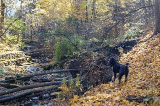
The parkland south of Steeles Ave between Bayview Ave and Leslie Street is a huge area with many trails. One trail follows the Don River, and another follows the tributary, German Mills Creek. The trails immediately behind the tennis courts are known as Bestview Park Nature Trails.  Parking Park near the  Steelesview Public School  at 105 Bestview Drive. Park on the street or use the spots at the school when it is closed.  Suggested Routes These trails are difficult to describe since none of them are marked. To make it clearer, I've separated the trail descriptions into three parts, as indicated by the numbers on the map. From Bestview Ave, follow the paved path between the tennis courts and the children's playground to the first bridge. This is the spot where the German Mills Creek flows into the Don River and is where our routes split into 1) right to St. Joes, 2) straight to Cummer, and 3) left to Leslie Street and a loop back to Bestview Park. Saint Joe's Turn ri...

Bob Hunter Memorial Park - Monarch Trail

Image
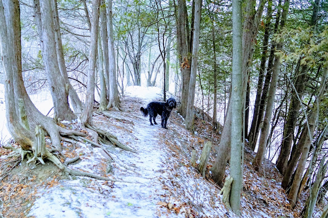
The Bob Hunter Memorial Park is part of the Rouge Urban National Park. It opened in 2006 and is named in honour of Robert Hunter, one of Greenpeace's founders. The 500 acres of land that makes up the park is owned by the province of Ontario. The park is located just north of the Toronto Zoo at Reesor Road and 14th Ave in Markham. Four trails are accessible from the main parking area on 14th Ave in Markham. See a previous blog about the Reesorway and Tanglewood trails . This blog documents the Monarch Trail. Monarch Trail The Monarch trail takes you through reclaimed wetlands, a cedar forest and white pine stand next to the Little Rouge River. The trail is 5.5 km in length and is easy to follow, despite the lack of signs. If you use MapMyWalk, follow our trail:  https://www.mapmywalk.com/workout/5246779414 . Parking  There is a large parking lot, toilets, seating area, and signage at the park's main entrance: 7277 14th Ave, Markham. Trailhead  Start the hike on the trail b...

Cooper's Falls Trail near Gravenhurst

Image
Hiking Muskoka When we're able, we use our talents as hikers in Toronto to explore other parts of Ontario. This entry is one of the series from our October visit to Muskoka.  Cooper's Falls Trail is a 7.3 hike each way and is located near Gravenhurst with beautiful lakes and the Canadian Sheild landscape.  The Cooper's Falls Trail is part of the Trans Canada Trail that spans 27,000 km across Canada. There are no waterfalls on this trail, instead expect typical Canadian shield terrain and marshy ponds. Expect to climb over large rocks that are typical in this part of Ontario. The trail is mostly well marked with blue signs. We had some trouble finding the trail past Larroger Road. Parts of the trail are very muddy so wear appropriate footwear.  The leaves were still colourful during our hike, which made the scenery spectacular. We turned around halfway but met several hikers who trekked both ways. Parking There are parking lots at each end:  Housey's Rapids Road...

Moore Ravine - David Balfour Park Loop

Image
It's hard to believe that there are ravines like this in the middle of Toronto. Surprisingly, it took me so long to blog about this route.  The hike encircles the Rosedale and Moore Park neighbourhoods with Yellow Creek on the west and Mud Creek on the east. My delay in blogging about this hike is two-fold. There is ongoing construction in the Rosehill Reservoir and David A. Balfour park affecting the trail on the west side. Hikers can still use most of the trail, but some of the access points are closed. Secondly, if you don't live within walking distance or use transit, there are very few free parking spots. Suggested Route I parked at the Rosehill lot and began a 10 km hike at the David A. Balfour Park entry point on Avoca Ave. Walking south, follow the trail to the left to Evergreen Brickworks. Join the Beltline trail that takes you through the Moore Ravine to the Mount Pleasant Cemetery. Join the trail back into the ravine along Yellow Creek to the access point to the Davi...