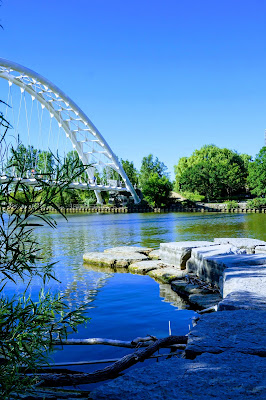
Humber River Trail - Etienne Brulé Park

The Humber River is 100 km long, so there are many hiking trails to explore. The river connects to Lake Ontario in the south. See earlier blog entry, Sunnyside Beach , about a park to explore at the southern point of the Humber River. Parking or Transit This hike begins at the Etienne Brule Park , where there is free parking. For those who use transit, the nearest subway station is the Old Mill Station . You'll be following part of the Humber River Recreational Trail. Suggested Route Starting at Etienne Brule Park, walk north on the paved path until you reach the footbridge over the Humber River. Turn back at this point for an 8.5 km hike. The Trail You can walk the paved trail for the entire hike if you like. There is also a gravel path as well as a footpath next to the river. Cyclists tend to use the paved path and joggers the gravel path. I like to use the river path to get the best view of the birds, and for Lucy to play in the river. Weir or Low H...