Posts

Showing posts with the label dog park

Huntington Park, Markham

Image
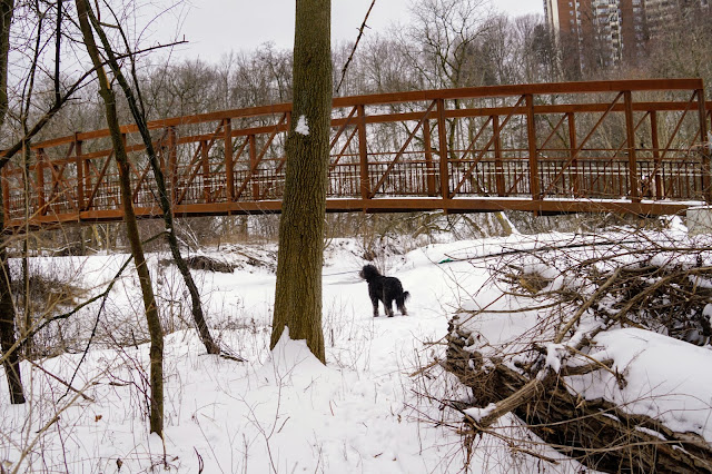
Huntington Park is located south of the 407 highway between Bayview Ave and Leslie Street.  The German Mills Creek flows through the park and eventually into the East Don River.  The trail takes you through two valleys: Valley View Park and Maple Valley Park. Parking There is limited parking at the dog park, so drive a bit further to the larger parking lot between the baseball diamond and the soccer field. The address is Huntington Park Drive, east of Lambert Road . Off-Leash Dog Park The dog park is quite large, and Lucy has made many friends on every visit. We often start our hikes in a dog park to learn more about the area. On our first visit, we met a couple at the dog park who were planning to hike the trail with their dogs, so they became our tour guides on the hike. We've only been here in the winter, so I'm not sure what the surface is like underneath the snow. Hydro Corridor For a full 5 km loop, I recommend that you first walk the hydro corridor trail parallel t...
New Don River Trails - Taylor Creek to Flemingdon Golf Course

Image
If you're looking for the least used trail along the Don River, this has to be it.  The Don River East flows through the parkland south of Eglinton Ave between the Don Valley Parkway and Bermondsey Road. User-created trails have been used for years, but the city is finally building official trails with bridges and eventually a safe way over the train tracks. Since the trail is still under construction, you may not be able to access it while work is being done. Also, the details in this blog will be out of date once the trail is finished. Charles Sauriol Conservation Area According to a label on Google Maps, the section of the East Don River trail between Taylor Creek and Lawrence Ave is part of Charles Sauriol Park. You may have noticed the monument to Charles Sauriol in the E. T. Seaton parking lot just north of the elevated wetlands. Presumably, there will eventually be a continuous hiking trail along the Don River from forks north to Lawrence Avenue. There are no official hiking...

Riverdale Park to Pottery Road Loop

Image
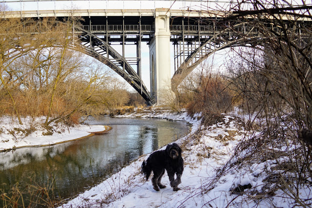
Explore the Lower Don Trails under the Bloor Street Viaduct between Carlton Street and Pottery Road.  In this 7.5 km hike, you'll pass through several iconic Toronto locations, including Cabbagetown favourites: Riverdale Park and Riverdale Farm, Wellesely Park and Necropolis Cemetery, a sculpture garden, the Don River, Pottery Road, Evergreen Brickworks and Rosedale Valley Road. I call this an epic hike because it takes you through several hiking hotspots in Toronto, but it's only a 7.5k loop in reality. Parking Because this hike takes you through several parks, there are many starting points.  We parked in a free spot at Riverdale Park West ( 387 Carlton Street ), where you'll see the entrance to the Riverdale Farm, typical Cabbagetown homes, a tree sculpture and a map of the entire area.  Riverdale Park West After parking, head down the hill to the field with the Sam Pollock ball diamond. This entire field is a permanent off-leash area for dogs. There are stairs on the ...